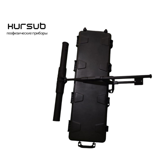
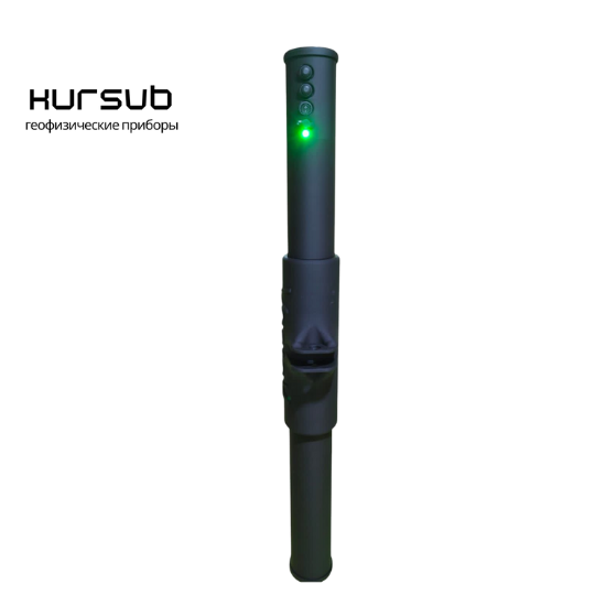
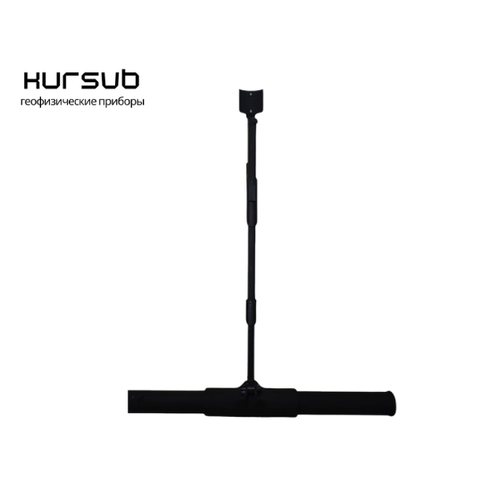
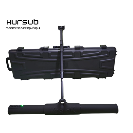
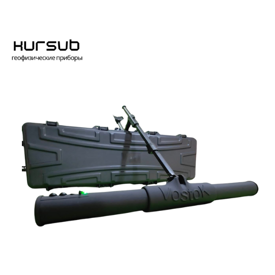
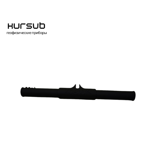
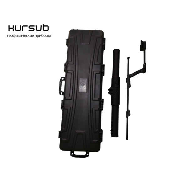
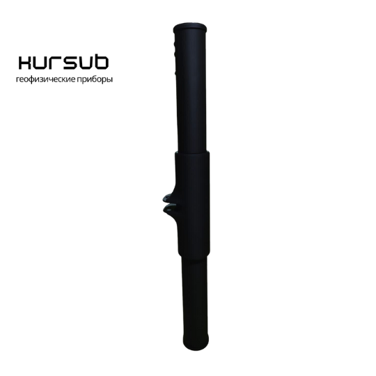
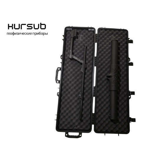
VostoK — Professional Multi-Sensor Subsurface Imaging System (Depth Capability: Up to 8 m)
VostoK
Professional Multi-Sensor Subsurface Imaging System (Depth Capability: Up to 8 m)
Designed for professional archaeological, geophysical, and deep-search operations, VostoK delivers field-proven accuracy and clarity in environments where coil-based systems typically fail or produce distorted data.1. Pure Sensor Architecture — No Coils, No Ground Interference
Designed for professional archaeological, geophysical, and deep-search operations, VostoK delivers field-proven accuracy and clarity in environments where coil-based systems typically fail or produce distorted data.
Key Points
Ground effect interference eliminated
No coil drift or signal collapse
No mineralization distortion
No sensitivity loss at greater depths
The system detects:
Conductivity variations
Density changes
Voids and metallic anomalies
Advantages of Coil-Free Technology
Superior stability in mineralized or wet soils
Higher depth resolution vs induction systems
Clearer mapping of geological formations
Better detection of non-metallic anomalies
Each sensor includes:
Independent calibration
Adaptive gain control
Real-time soil compensation
2. 12-Sensor Synchronized Array
The core of VostoK is a 12-channel acquisition platform where every sensor records simultaneously through a unified timing engine.
Technical Characteristics
Simultaneous sampling (no phase errors)
Wide-area coverage + high spatial resolution
Cross-correlation verifying anomaly consistency
Distributed geometry improving vertical/lateral accuracy
3. Depth Capability — Up to 8 Meters
Field-validated imaging depth maintained even in:
Highly mineralized terrain
Clay-rich soil
Moisture-heavy environments
Electrically noisy locations
Provides clean, consistent signal profiles at depths where detectors lose definition.
4. High-Precision Signal Processing Pipeline
Processing Stages
Simultaneous Raw Capture (12 sensors)
Noise & Interference Reduction
Subsurface Gradient Modeling
Depth Correction & Deconvolution
Volumetric Data Fusion (2D, 3D, 4D)
Ensures deep, weak anomalies are detected with high precision.
5. 2D, 3D, and 4D Imaging Modes
2D Mode
Horizontal/vertical slices
Depth intensity profiles
Rapid confirmation
3D Mode
Full volumetric reconstruction
Rotatable measurable models
Accurate sizing
4D Mode
(Time-based)
Compare scans
Excavation tracking
Structural evolution
Geological change detection
6. Field Durability & Environmental Adaptation
Resistant to:
Magnetic soil
High salinity
Moisture & humidity
Temperature shifts
Electromagnetic noise
Automatically self-adjusts to:
Soil mineralization
Moisture changes
EMI sources
Geological layers
7. Professional Software Platform
Key Features
Multi-level anomaly segmentation
Depth & volume calculation
Geological modeling
Export to GIS/CAD
Auto-report generation
Real-time 3D visualization
Survey comparison tools
Simplified mode for non-experts
8. Applications
Archaeology
Tombs, chambers
Buried structures
Ancient settlements
Geophysics
Fault detection
Soil stratification
Hydrological studies
Search & Exploration
Precious metals
Voids & cavities
Deep anomaly verification